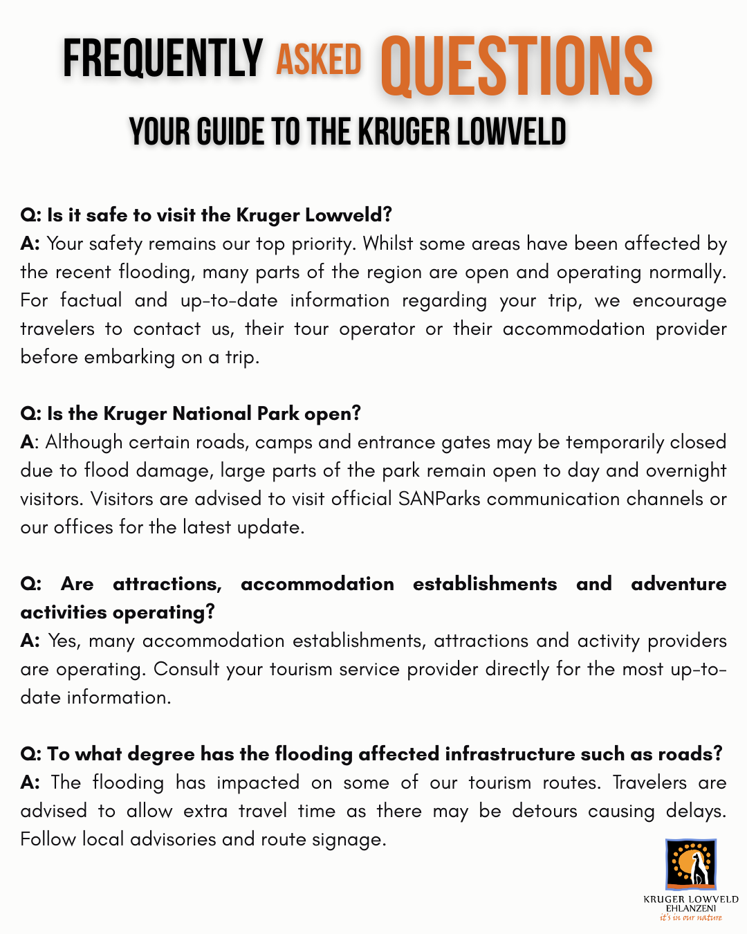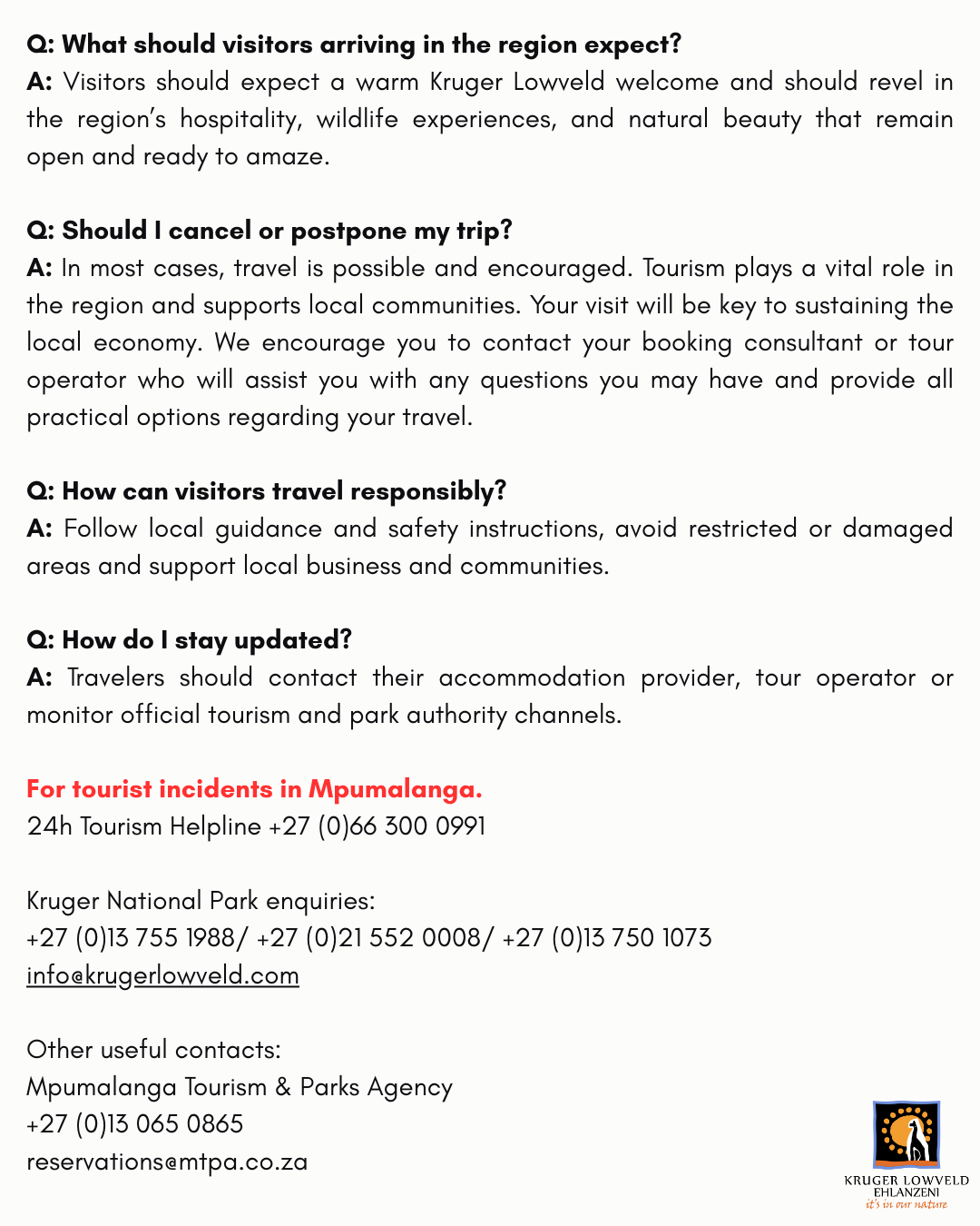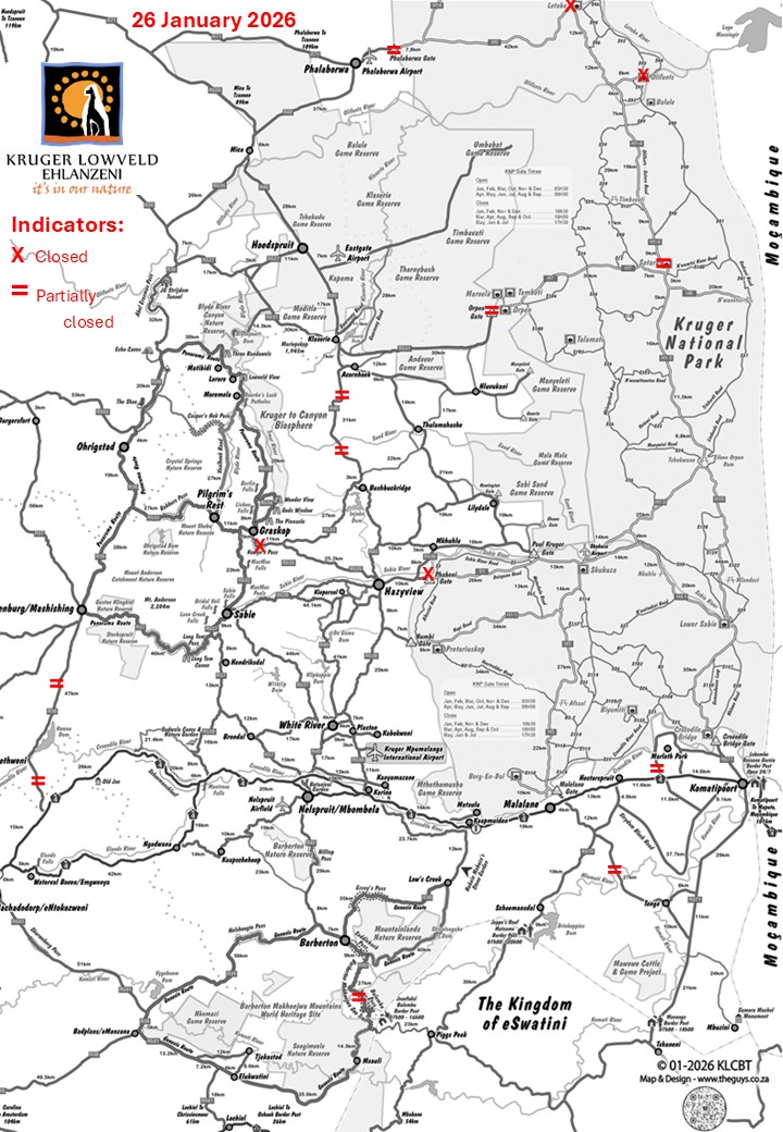
Latest Flood Disaster Update – On ONE Map
Open the updated map here with full description of state of each of the points of concern:
https://www.krugerlowveld.co.za/ (Thank you to The Guys for providing this service as a contribution)
Latest summary from SATSA:
Flooding Recovery Update – Mailer 15 | 16 February 2026
Please note: Do not remove barricades or use closed roads. Updates will follow as assessments continue.
KRUGER LOWVELD MAIN ROAD NETWORKS:
Graskop to Hazyview washed away at Kowyn’s Pass – please use route via Sabie – Hazyview. Emergency detour is being constructed and should be operational within a few days.
Bushbuckridge to Acornhoek is damaged but 24hour stop and go in place.
Lydenburg to Bambi badly damaged but open.
Some roads have one lane open in spots, drive safely and adhere to signs.
WATERFALLS AND ATTRACTIONS:
Green Heritage Picnic Site – closed
Forest Falls – Closed
Debengeni Falls – Closed
We have to note that those that are accessible are absolutely spectacular and a MUST SEE!!!